
When it comes to land development in Edmonton, stormwater compliance is not just a box to tick—it’s a foundational requirement that can impact permitting, timelines, and even long-term property value. As cities like Edmonton continue to grow and densify, managing how water moves across developed land has never been more important. This is where land development surveys in Edmonton play a crucial role, helping developers design with precision and stay aligned with stormwater management regulations from day one.
Why Stormwater Management Matters in Urban Development
Every time land is altered—whether it’s for a new subdivision, infill housing, or commercial space—it changes how water behaves on that site. Natural absorption through soil and vegetation gives way to hard surfaces like pavement and rooftops, which don’t absorb water but instead cause runoff. Without proper grading and drainage, this runoff can lead to flooding, soil erosion, foundation damage, and neighbourhood disputes.
To avoid these outcomes, municipalities enforce strict stormwater management guidelines. These requirements influence everything from driveway slope to catch basin placement. Developers who want to avoid delays, fines, or retrofitting costs turn to professional land surveyors to ensure their designs meet compliance standards.
The Surveyor’s Role in Stormwater Compliance
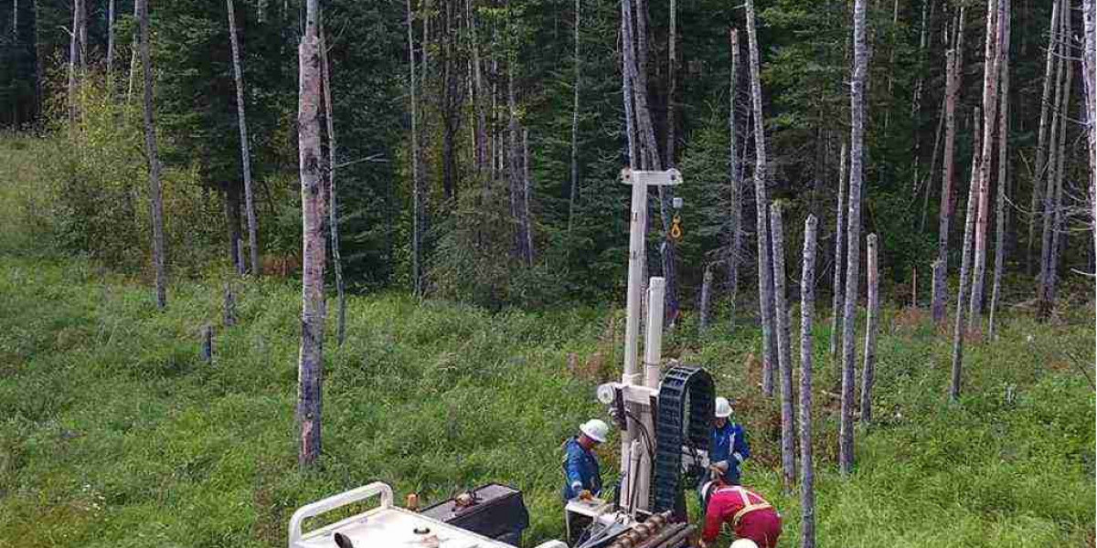
Land development surveys in Edmonton are not just about identifying property lines—they provide the topographical data and elevation details essential for stormwater planning. A qualified surveyor maps the natural and existing man-made contours of the land to identify how water will naturally flow and pool.
This data is then used by civil engineers and planners to:
- Design appropriate grading plans
- Calculate stormwater retention and runoff rates
- Determine optimal placement for swales, catch basins, and culverts
- Identify potential flooding or pooling issues
By providing a detailed picture of the site’s elevations, slopes, and drainage patterns, land surveys guide the development of stormwater solutions that align with municipal standards—and protect neighbouring properties.
Grading Plans and Site Slope
In Edmonton, grading plans must demonstrate that surface water is directed away from structures and toward appropriate drainage paths. Surveyors support this requirement by providing accurate elevation benchmarks that allow engineers to design slopes that manage runoff effectively without creating new drainage issues elsewhere on the site.
Too much slope, and runoff becomes too rapid, potentially eroding soil or overwhelming storm systems. Too little slope, and water can pool near foundations or on walkways. That delicate balance is why land development surveys in Edmonton are essential for getting grading plans approved—and keeping development projects moving forward without costly redesigns.
Ensuring Long-Term Performance and Compliance
Stormwater systems must not only work during construction—they must remain effective over time. Surveyors play a key role in verifying that the site has been developed according to the approved grading and drainage plans. Post-construction surveys can confirm whether elevation and slope requirements have been met, helping developers close out projects with confidence.
This kind of survey-backed validation can also protect property owners down the line. Should disputes arise—such as claims that runoff from one property is flooding another—a certified land survey can provide objective documentation of how the land was shaped and drained at the time of development.
Drainage, grading, and slope may not be the flashiest aspects of land development, but they’re among the most critical—both for regulatory compliance and long-term project success. Surveyors are the unseen partners that help shape how water flows through every development, reducing risk and keeping projects aligned with Edmonton’s evolving urban landscape.
For more information about Land Surveying Saskatchewan and Survey Services Regina Please visit: CORE Geomatics.